|
Peer-Reviewed
Articles :
Publication Year | Research
Topics
Edited Books, Textbooks and Atlas Books:
 List
List
合輯學術專書、教科書與地圖集
-
Tzai-Hung Wen,
Ting-Wu Chuang, Mathuros Tipayamongkholgul (editors) (2023),
Earth Data Analytics for Planetary Health, Springer
Nature Singapore.
(ISBN:
978-981-19-8765-6)
全文連結:https://link.springer.com/book/10.1007/978-981-19-8765-6
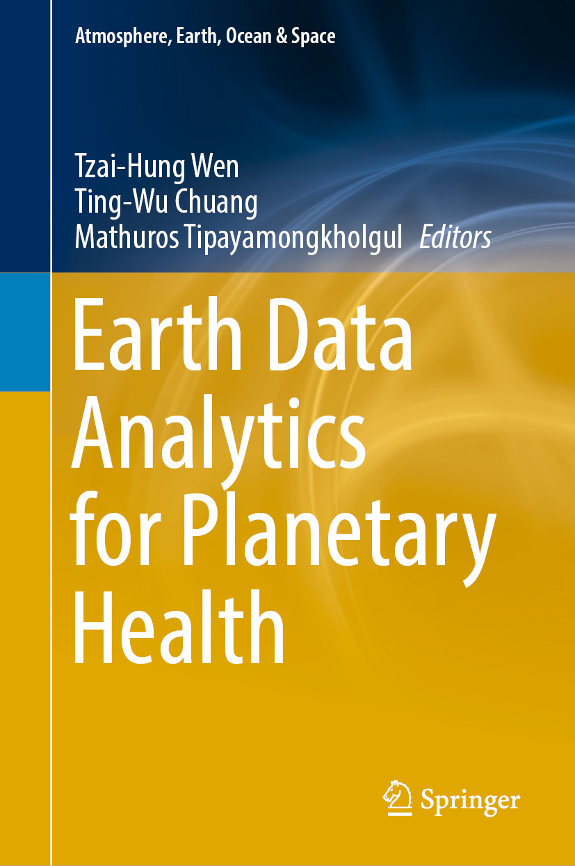 |
內容簡介:
星球健康(Planetary Health)是近年聯合國環境署與世界衛生組織倡議的共同健康(One
Planet, One
Health)的理念,強調人類健康、動物健康及地球環境三者間密不可分的關係。近年發展各類型的地球環境資料與地理數據分析方法,將有助於進一步探索星球健康的議題。因此,我們彙整編輯這本學術專書,介紹近年運用空間資訊在環境暴露與健康風險的研究進展。
Book Introduction:
Planetary health involves complex interactions
among agents, hosts, and earth environment. Various methods in earth data analytics,
such as spatial–temporal
statistics, remote sensing image
analysis, and wireless geo-sensor are
emerging for understanding complex interactions in
planetary health. This edited book provides a broad focus on
earth data analytics and their
applications to measuring the process of planetary health, with the
goal to build scientific understanding on how geospatial analytics
can provide valuable insights in measuring environmental risks.
It is collection of selected papers covering both theoretical and
empirical studies focusing on topics relevant to spatial
perspectives on planetary health and environmental exposure studies.
The book is written for senior undergraduates, graduate students,
lecturers, and researchers in applications of geospatial
technologies for public health and environmental studies. |
-
溫在弘 (2021),《空間分析:方法與應用(第二版)》,台北:雙葉書廊,344
頁。(ISBN: 978-957-90-9696-6)
補充教材:R語言實作範例|網路書店:雙葉書廊,三民書店,博客來
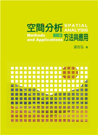 |
內容簡介:
本書系統性地介紹空間思考的概念與常用的分析方法,包括:空間思考的觀念、地圖繪製原則、空間的幾何關係、空間型態與群聚分析、地理變數的關聯分析與迴歸模型等主題。
書中的『地圖』透過數據科學的分析思維,提供讀者探索在空間資料背後所呈現的地理過程與意涵。同時,新版內容新增常用的非監督式與監督式學習演算法,包括:DBSCAN、OPTICS等分群演算法、以及決策樹與隨機森林等預測分類演算法。
本書特色:
1. 循序漸進介紹各種分析方法的原理與應用實例。
2. 全書採用ArcGIS Pro進行逐步的範例實作解說。
3. 新版增加地理空間資料常用的機器學習演算法。 |
-
溫在弘 (2015),《空間分析:方法與應用》,台北:雙葉書廊, 285
頁。
(ISBN: 978-986-56-6821-1)
網路書店:雙葉書廊(售完絕版)
 |
內容簡介:
透過智慧型手機、網路地圖或社群網站的定位功能,我們可便利地取得所關心的位置資訊。若想進一步描述或理解這些大量空間資料背後所呈現的地理意涵,則需透過空間分析的方法。本書將系統性地介紹探索空間的概念與常用的分析方法,包括:空間思考的邏輯、地圖繪製原則、空間關係的探索、空間結構與群聚分析、地理變數的關聯分析與迴歸模型等主題。讓「地圖」透過統計學的思維方式,可以解讀在空間數據的背後所呈現的各種地理過程。
本書特色:
1. 兼顧分析方法的觀念理解與實作能力的養成。
2. 提供實際數據,透過實作來印證各種方法的原理。
3. 針對各種應用空間問題,提供解題步驟與意義。
|
-
溫在弘、黃清琦、葉高華 (2012),《台灣戰後人口普查地圖集:1956-2010》,台北:台大人口與性別研究中心,
305
頁。
(ISBN: 978-986-03-5765-3)
網路書店:三民書店(售完絕版)
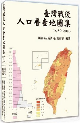 |
內容簡介:
針對1956和1966年兩次的人口普查資料加以數位化,以補足現存戰後人口趨勢分析與數據公開資料的斷層。為顯示其社會應用的成果,出版本地圖集,整合戰後(1945至2010年)歷次人口普查與統計資料,以繪製成人口統計地圖的呈現方式,顯示戰後60年來的人口結構變遷趨勢。本地圖集共規劃10項主題,包括:行政區、人口分布、族群、年齡、性別與婚姻、教育、勞動力、行業、職業與住宅等,每項主題有5至9個不等的項目,約總共66個項目,每個項目都以歷年人口地圖或統計圖表的視覺化呈現方式,提供各項目的戰後變遷歷程。
連結
|
導讀 |
-
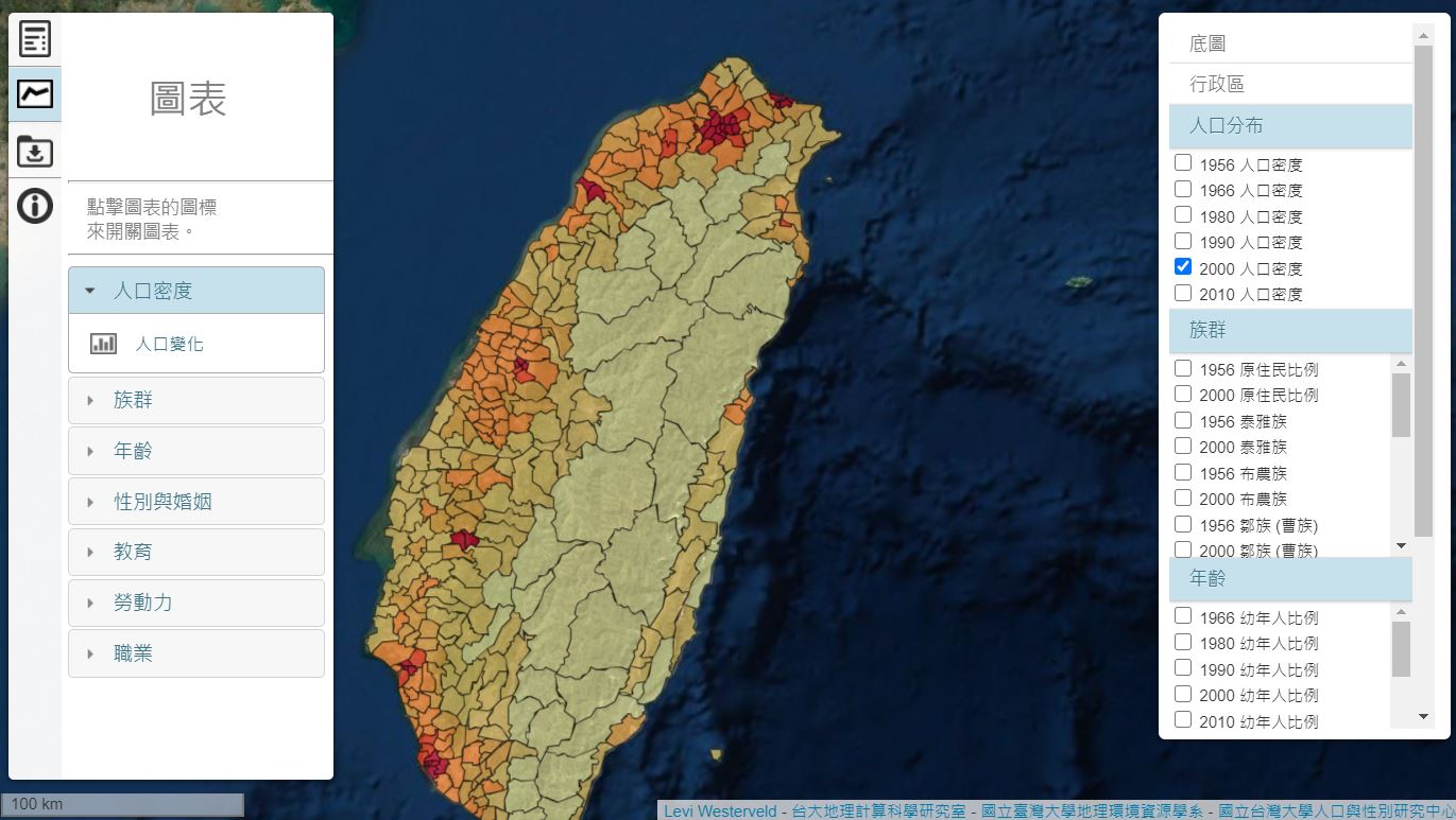
台灣人口普查互動地圖:1956-2010
e-Atlas: Taiwan Census Explorer 1956-2010
https://wenlab501.github.io/censusmap/zh/
|